4.3 Functionality of a GIS based hydrological model
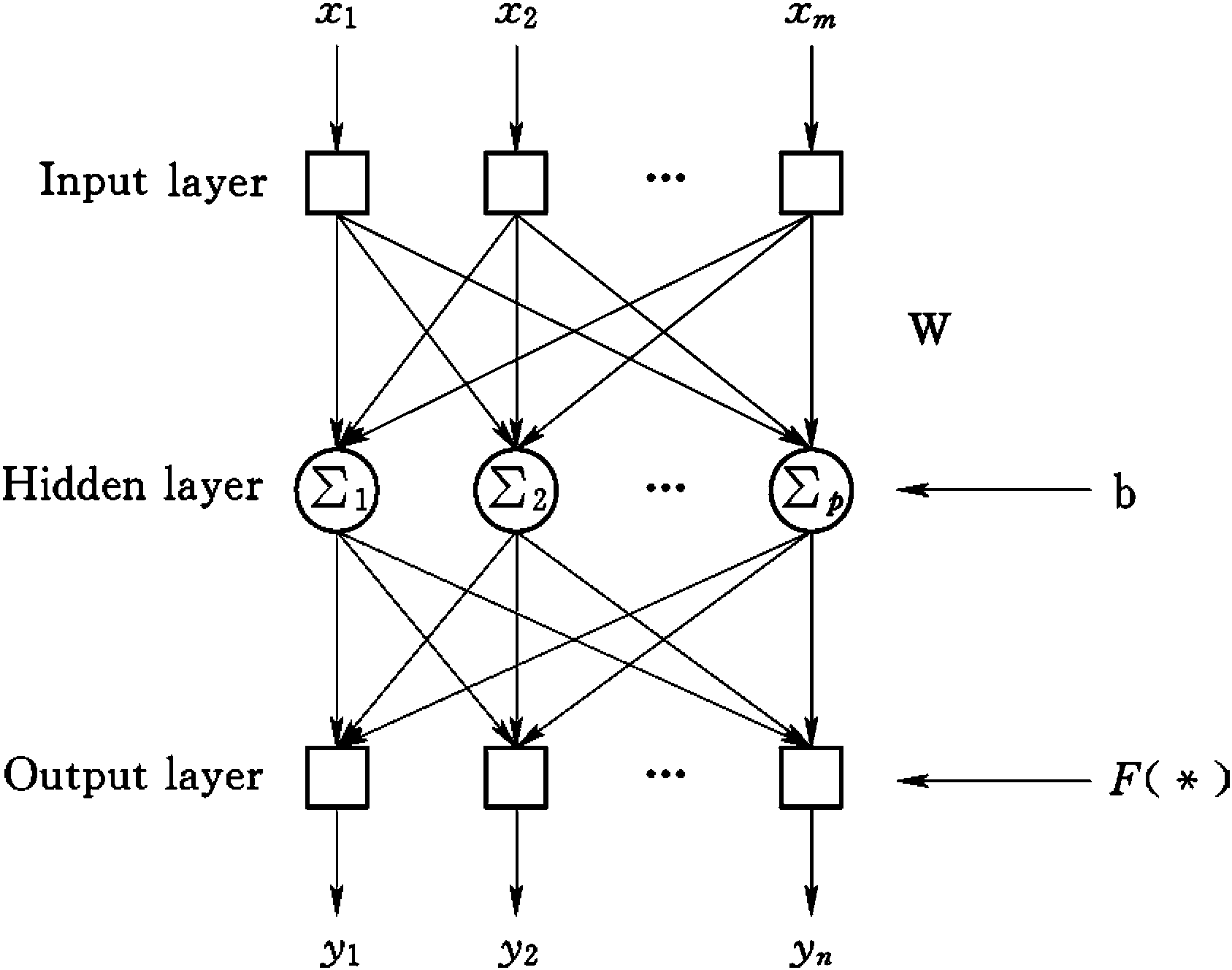
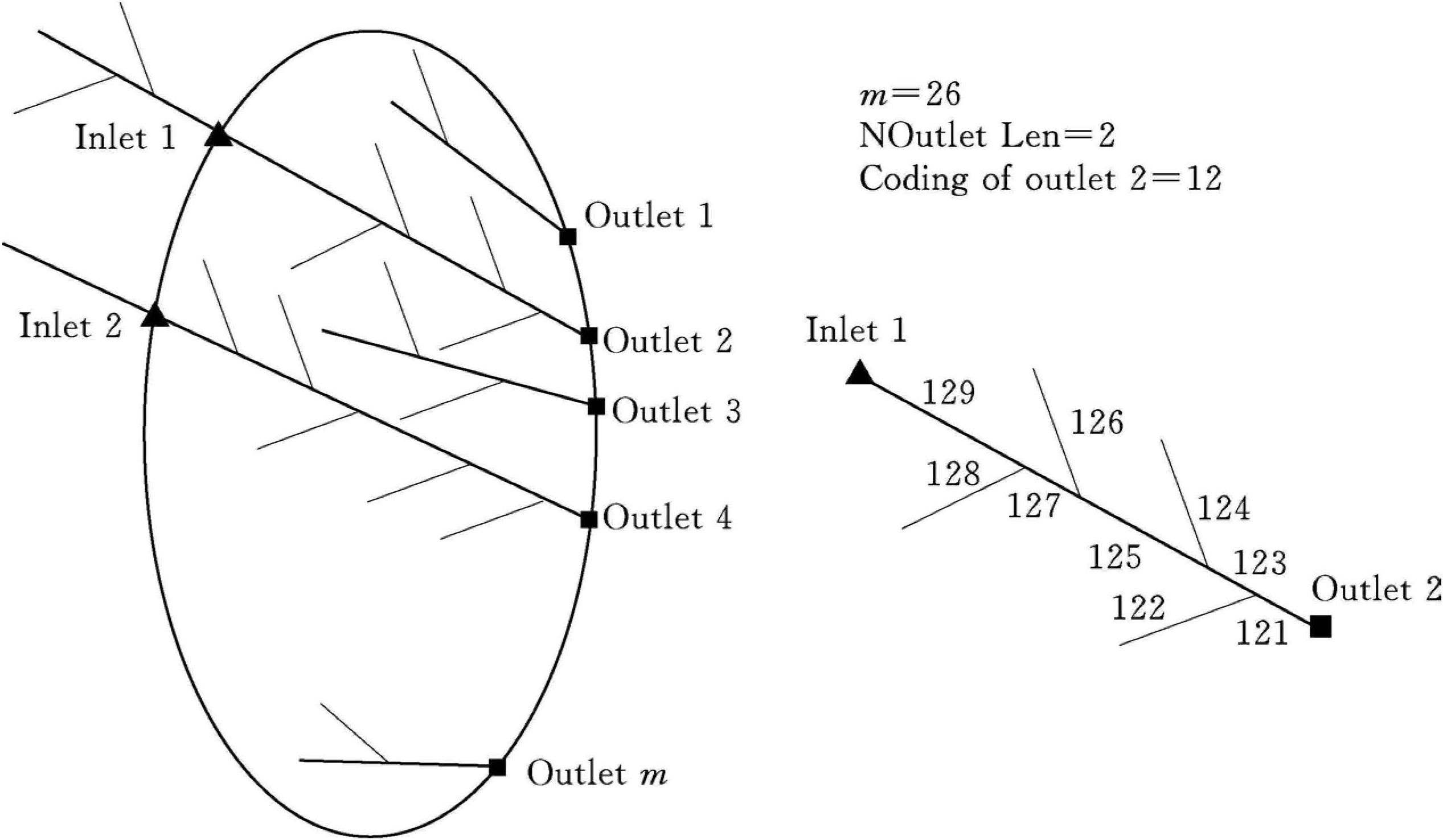
Well-developed GIS systems provides strong spatial and attribute dataanalysis and calculation functions,e.g.river network coding especially usingPfafstetter method (Pfafstetter,1989); automatic operations on sub-basindelineation; efficient interpolation of rainfall and meteorologicaldata.Secondly,hydrological modeling should be efficiency especially for largebasin.Most distributed hydrological models are designed for medium or smallscale watersheds.When they are used in large basins such as Yellow River orYangtze River in China,they should be designed to be efficient in modelingand calibration.Besides the friendly and convenient model-building environment and calibration functions,distributed hydrological modeling tool shallprovide direct access to most of the spatial data requi ...... (共976字) [阅读本文]>>
 上一篇
上一篇