5.2 Land cover and soil
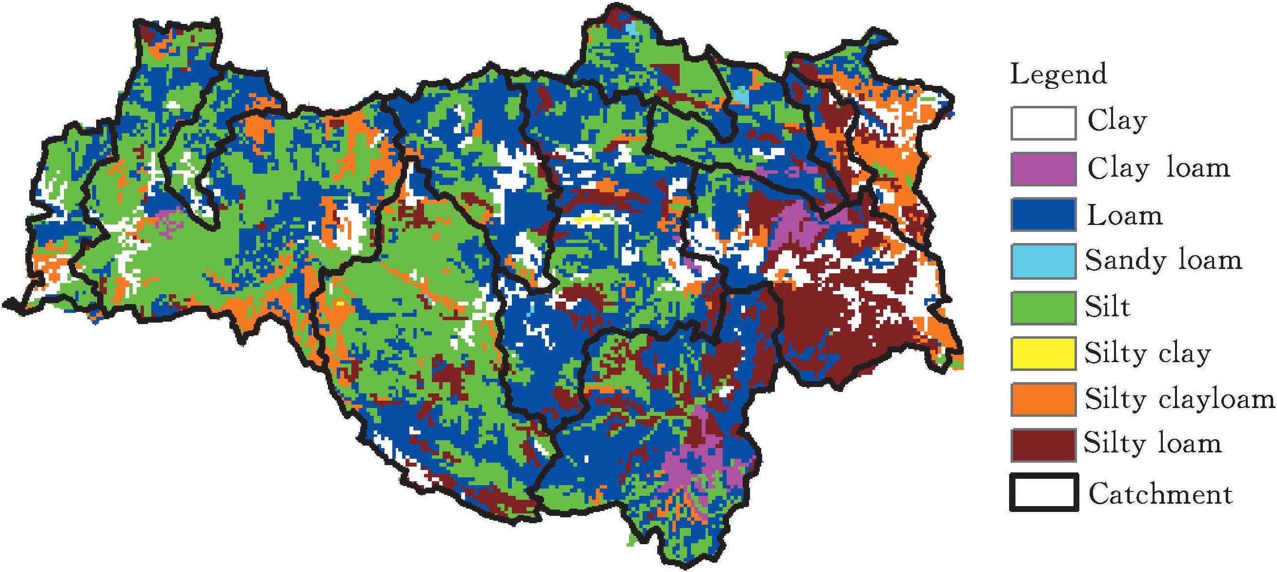
When carrying out distributed water resources assessment,underlyingspatial data needs to be collected including land cover and soil.It is worth mentioning that the land cover of different periods will result in differences amongrunoff parameters,especially for long term simulation.Therefore,two periods of land cover raster data sets were adopted and compared that were the landcover in the 1980s and 1990s.Figure 5-3 (a) and Figure 5-3 (b) showedthe land cover spatial distribution.The land cover was classified into 19 categories.And the study area was mainly dominated by middle density grass,highdensity grass,open forest land,forest land and rural area.As was illustratedthat there showed no real differences between the two periods of land cover andtherefore,the underlying cond ...... (共3234字) [阅读本文]>>
 上一篇
上一篇