6.3 Land cover and soil texture
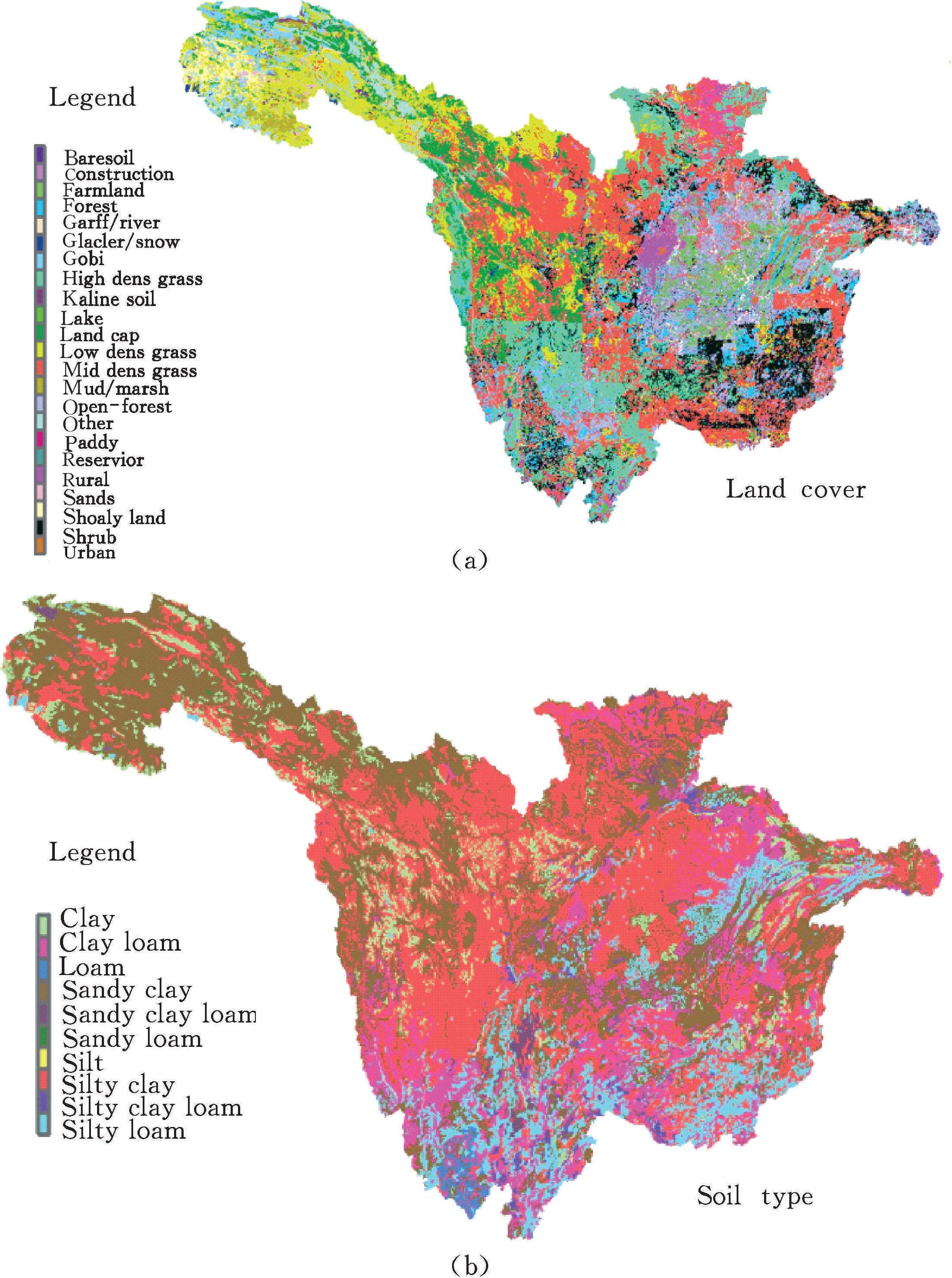
Statistical summary shows that land use in UYR region can be classifiedinto 23 categories [Figure 6-2 (a)].The region is dominated by grass land(50.8%),open forest (9.95%),forest land (13.7%),and rural area(3.52%).In highland area,landscape is covered by low density grass,gobiand land cap.For low elevation area,high density grass,forest and shrub aredominated.It is estimated that the area percentage of each land cover typeshows no significant changes (p>0.05) in different investigation period.Thus land cover in 2000 is adopted.Soil map is collected on digital soil maps deriving soil particulate size at a scale size of 1:1,000,000.Main soil texture [Figure6-2 (b)] is loam (37.1%),silty (32.3%),and silty clayloam (11.3%).Soiltexture is characterized with silt in u ...... (共1068字) [阅读本文]>>
 上一篇
上一篇